 vesseltracker.com
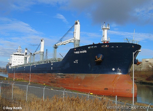
Vessel PUNA IMO: 9546784, MMSI: 210858000 Bulk Carrier
UTC, 10.47667, -68.00167, course: -1, speed: 0
UTC, 10.47667, -68.00167, course: -1, speed: 0
2026-02-25 00:19:01 UTC, 10.47667, -68.00167, course: -1, speed: 0
Live AIS position:
UTC. Near Puerto Cabello),
updated 2026-02-25 00:19:01 UTC.
Find the position of the vessel PUNA on the map. The latter are known coordinates and path.
marine traffic ship tracker show on live map
The current position of vessel PUNA is 10.47667 lat / -68.00167 lng. Updated: 2026-02-25 00:19:01 UTCCurrently sailing under the flag of Liberia
PUNA built in 2010 year
Deadweight:
29975 tDetails:
Last coordinates of the vessel:
UTC, 10.47667, -68.00167, course: -1, speed: 0UTC, 10.47667, -68.00167, course: -1, speed: 0
UTC, 10.47667, -68.00167, course: -1, speed: 0
2026-02-25 00:19:01 UTC, 10.47667, -68.00167, course: -1, speed: 0