 vesseltracker.com
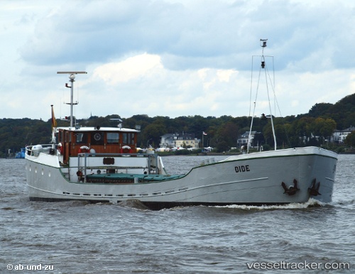
Vessel Dide IMO: 6613586, MMSI: 211254620 General Cargo Ship
UTC, 53.77242, 9.32454, course: -1, speed: 0
UTC, 53.77242, 9.32451, course: -1, speed: 0
2026-01-15 00:17:06 UTC, 53.77240, 9.32452, course: -1, speed: 0
Live AIS position:
UTC. Near Wischhafen),
updated 2026-01-15 00:17:06 UTC.
Find the position of the vessel Dide on the map. The latter are known coordinates and path.
marine traffic ship tracker show on live map
The current position of vessel Dide is 53.77240 lat / 9.32452 lng. Updated: 2026-01-15 00:17:06 UTCDetails:
Last coordinates of the vessel:
UTC, 53.77240, 9.32455, course: -1, speed: 0UTC, 53.77242, 9.32454, course: -1, speed: 0
UTC, 53.77242, 9.32451, course: -1, speed: 0
2026-01-15 00:17:06 UTC, 53.77240, 9.32452, course: -1, speed: 0