 vesseltracker.com
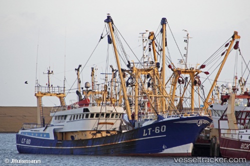
Vessel St27 Jacob Grietje IMO: 9021502, MMSI: 211411630 Fishing Vessel
UTC, 53.04245, 4.85372, course: 18, speed: 0
UTC, 53.04244, 4.85370, course: 18, speed: 0
2026-03-25 01:30:31 UTC, 53.04247, 4.85370, course: 18, speed: 0
Live Vessel St27 Jacob Grietje Analytics (details, animations, etc.)
Live AIS position: UTC. Near OUDESCHILD), updated 2026-03-25 01:30:31 UTC.Find the position of the vessel St27 Jacob Grietje on the map. The latter are known coordinates and path.
marine traffic ship tracker show on live map
The current position of vessel St27 Jacob Grietje is 53.04247 lat / 4.85370 lng. Updated: 2026-03-25 01:30:31 UTCCurrently sailing under the flag of Germany
St27 Jacob Grietje built in 1991 year
Details:
Last coordinates of the vessel:
UTC, 53.04246, 4.85364, course: 18, speed: 0UTC, 53.04245, 4.85372, course: 18, speed: 0
UTC, 53.04244, 4.85370, course: 18, speed: 0
2026-03-25 01:30:31 UTC, 53.04247, 4.85370, course: 18, speed: 0