 vesseltracker.com
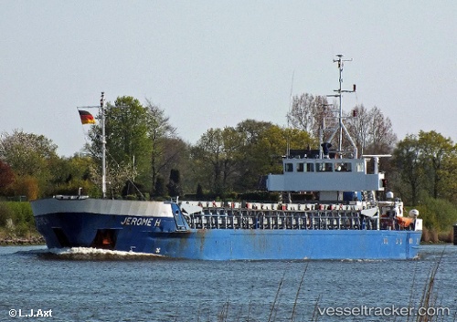
Vessel Anita Hagedorn IMO: 8505927, MMSI: 211686000 Bulk Carrier
UTC, 53.78630, 6.68009, course: 79, speed: 10.1
UTC, 53.84194, 7.15498, course: 77, speed: 9.7
2026-03-03 23:57:53 UTC, 53.93529, 7.79102, course: 81, speed: 8.3
Live AIS position:
UTC. Near Wangerooge),
updated 2026-03-03 23:57:53 UTC.
Find the position of the vessel Anita Hagedorn on the map. The latter are known coordinates and path.
marine traffic ship tracker show on live map
The current position of vessel Anita Hagedorn is 53.93529 lat / 7.79102 lng. Updated: 2026-03-03 23:57:53 UTCCurrently sailing under the flag of Germany
Anita Hagedorn built in 1985 year
Deadweight:
1741 tDetails:
Last coordinates of the vessel:
UTC, 53.70857, 6.15911, course: 69, speed: 9.8UTC, 53.78630, 6.68009, course: 79, speed: 10.1
UTC, 53.84194, 7.15498, course: 77, speed: 9.7
2026-03-03 23:57:53 UTC, 53.93529, 7.79102, course: 81, speed: 8.3