 vesseltracker.com
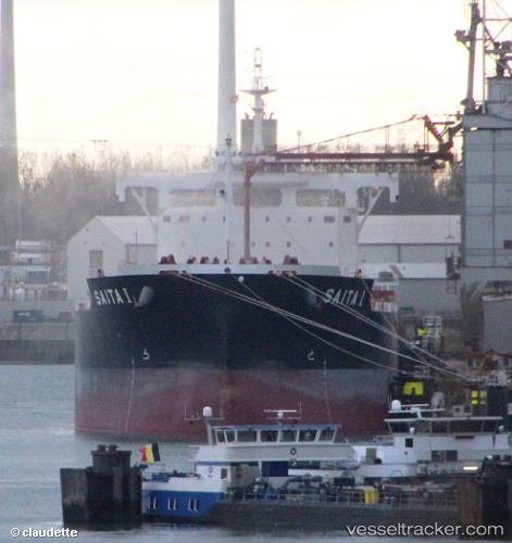
Vessel Saita I IMO: 9643544, MMSI: 212180000 Bulk Carrier
UTC, -6.01541, 105.95169, course: 128, speed: 0
UTC, -6.01536, 105.95167, course: 127, speed: 0
2026-02-20 18:34:15 UTC, -6.01500, 105.95167, course: -1, speed: 0
Live AIS position:
UTC. Near Cigading),
updated 2026-02-20 18:34:15 UTC.
Find the position of the vessel Saita I on the map. The latter are known coordinates and path.
marine traffic ship tracker show on live map
The current position of vessel Saita I is -6.01500 lat / 105.95167 lng. Updated: 2026-02-20 18:34:15 UTCDetails:
Last coordinates of the vessel:
UTC, -6.01532, 105.95170, course: 127, speed: 0UTC, -6.01541, 105.95169, course: 128, speed: 0
UTC, -6.01536, 105.95167, course: 127, speed: 0
2026-02-20 18:34:15 UTC, -6.01500, 105.95167, course: -1, speed: 0