 vesseltracker.com
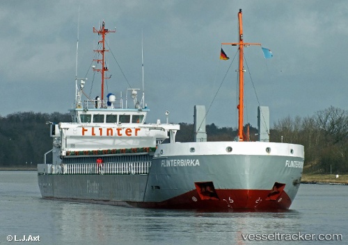
Vessel Marjatta IMO: 9345374, MMSI: 212198000 General Cargo Ship
UTC, 51.67334, 2.49193, course: 35, speed: 10.5
UTC, 51.83899, 2.68508, course: 41, speed: 10.4
2026-02-25 22:10:40 UTC, 52.14888, 3.14422, course: 49, speed: 9.5
Live AIS position:
UTC. 21 nm SE of Craven Arms),
updated 2026-02-25 22:10:40 UTC.
Find the position of the vessel Marjatta on the map. The latter are known coordinates and path.
marine traffic ship tracker show on live map
The current position of vessel Marjatta is 52.14888 lat / 3.14422 lng. Updated: 2026-02-25 22:10:40 UTCDetails:
Last coordinates of the vessel:
UTC, 51.29117, 2.10400, course: 23, speed: 9.9UTC, 51.67334, 2.49193, course: 35, speed: 10.5
UTC, 51.83899, 2.68508, course: 41, speed: 10.4
2026-02-25 22:10:40 UTC, 52.14888, 3.14422, course: 49, speed: 9.5