 vesseltracker.com
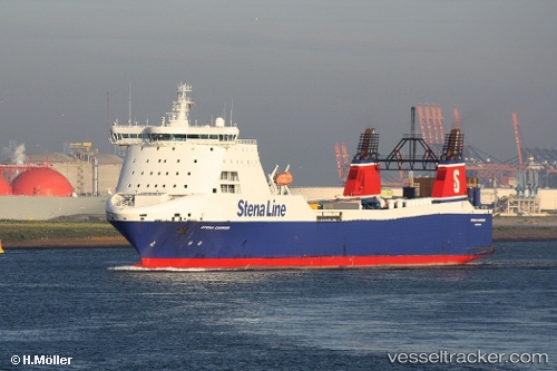
Vessel SARDINIA IMO: 9138800, MMSI: 212434000 Ro-Ro Cargo
UTC, 38.29044, 13.71162, course: 90, speed: 11.5
UTC, 38.29573, 14.18821, course: 92, speed: 10.7
2026-02-23 17:55:43 UTC, 38.29684, 14.60189, course: 96, speed: 11.9
Live AIS position:
UTC. 10 nm NW of Capo d'Orlando),
updated 2026-02-23 17:55:43 UTC.
Find the position of the vessel SARDINIA on the map. The latter are known coordinates and path.
marine traffic ship tracker show on live map
The current position of vessel SARDINIA is 38.29684 lat / 14.60189 lng. Updated: 2026-02-23 17:55:43 UTCCurrently sailing under the flag of Cyprus
Details:
Last coordinates of the vessel:
UTC, 38.30326, 13.10177, course: 90, speed: 11.2UTC, 38.29044, 13.71162, course: 90, speed: 11.5
UTC, 38.29573, 14.18821, course: 92, speed: 10.7
2026-02-23 17:55:43 UTC, 38.29684, 14.60189, course: 96, speed: 11.9