 vesseltracker.com
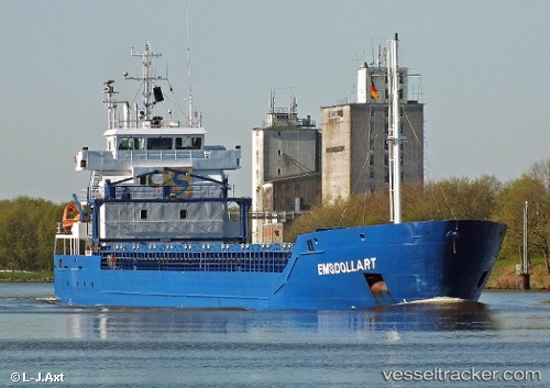
Vessel Miramar IMO: 9552044, MMSI: 212584000 Multi Purpose Carrier
UTC, 58.66407, 17.10825, course: 145, speed: 0.1
UTC, 58.66410, 17.10824, course: 146, speed: 0.1
2026-03-24 05:23:07 UTC, 58.57462, 17.58773, course: 120, speed: 12.1
Live Vessel Miramar Analytics (details, animations, etc.)
Live AIS position: UTC. 13 nm SE of Studsvik), updated 2026-03-24 05:23:07 UTC.Find the position of the vessel Miramar on the map. The latter are known coordinates and path.
marine traffic ship tracker show on live map
The current position of vessel Miramar is 58.57462 lat / 17.58773 lng. Updated: 2026-03-24 05:23:07 UTCCurrently sailing under the flag of Cyprus
Miramar built in 2011 year
Deadweight:
5233 tDetails:
Last coordinates of the vessel:
UTC, 58.66407, 17.10825, course: 145, speed: 0.1UTC, 58.66407, 17.10825, course: 145, speed: 0.1
UTC, 58.66410, 17.10824, course: 146, speed: 0.1
2026-03-24 05:23:07 UTC, 58.57462, 17.58773, course: 120, speed: 12.1