 vesseltracker.com
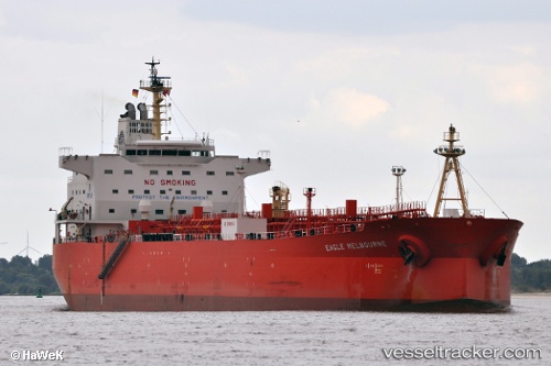
Vessel UOG KYMA IMO: 9433810, MMSI: 212623000 Oil Products Tanker
UTC, 20.27667, -95.68500, course: -1, speed: 12
UTC, 20.52333, -96.10167, course: -1, speed: 12
2026-02-28 09:14:11 UTC, 20.65667, -96.33167, course: -1, speed: 11
Live AIS position:
UTC. 37 nm NE of Nautla),
updated 2026-02-28 09:14:11 UTC.
Find the position of the vessel UOG KYMA on the map. The latter are known coordinates and path.
marine traffic ship tracker show on live map
The current position of vessel UOG KYMA is 20.65667 lat / -96.33167 lng. Updated: 2026-02-28 09:14:11 UTCCurrently sailing under the flag of Cyprus
Details:
Last coordinates of the vessel:
UTC, 20.14375, -95.46505, course: 304, speed: 12.1UTC, 20.27667, -95.68500, course: -1, speed: 12
UTC, 20.52333, -96.10167, course: -1, speed: 12
2026-02-28 09:14:11 UTC, 20.65667, -96.33167, course: -1, speed: 11