 vesseltracker.com
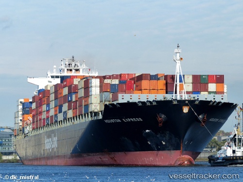
Vessel MSC MUMBAI VIII IMO: 9294991, MMSI: 212746000 Container Ship
UTC, 7.43706, -79.75292, course: 227, speed: 21.4
UTC, 6.95831, -80.24422, course: 266, speed: 22.9
2026-03-03 03:52:14 UTC, 6.96661, -80.96194, course: 273, speed: 18.4
Live AIS position:
UTC. 23 nm S of El Puerto),
updated 2026-03-03 03:52:14 UTC.
Find the position of the vessel MSC MUMBAI VIII on the map. The latter are known coordinates and path.
marine traffic ship tracker show on live map
The current position of vessel MSC MUMBAI VIII is 6.96661 lat / -80.96194 lng. Updated: 2026-03-03 03:52:14 UTCCurrently sailing under the flag of Cyprus
Details:
Last coordinates of the vessel:
UTC, 8.03091, -79.45415, course: 176, speed: 20.8UTC, 7.43706, -79.75292, course: 227, speed: 21.4
UTC, 6.95831, -80.24422, course: 266, speed: 22.9
2026-03-03 03:52:14 UTC, 6.96661, -80.96194, course: 273, speed: 18.4