 vesseltracker.com
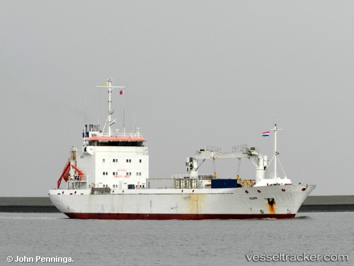
Find the position of the vessel Alma on the map. The latter are known coordinates and path.
marine traffic ship tracker show on live map
The current position of vessel Alma is 52.48677 lat / 4.40716 lng. Updated: 2025-10-30 00:32:22 UTCCurrently sailing under the flag of Cyprus
Alma built in 1997 year
Deadweight:
4000 tDetails:
Last coordinates of the vessel:
UTC, 52.46560, 4.66476, course: 206, speed: 0UTC, 52.46562, 4.66476, course: 206, speed: 0
UTC, 52.46590, 4.59973, course: 267, speed: 0.6
2025-10-30 00:32:22 UTC, 52.48677, 4.40716, course: 288, speed: 12.5