 vesseltracker.com
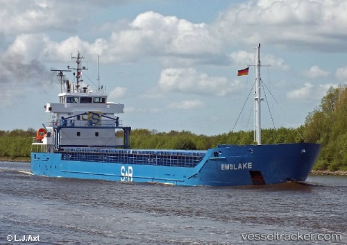
Vessel Reymar IMO: 9552032, MMSI: 212880000 Multi Purpose Carrier
UTC, 64.65393, 24.41028, course: 359, speed: 0
UTC, 64.65393, 24.41028, course: 359, speed: 0
2026-01-19 17:02:29 UTC, 64.65393, 24.41027, course: 0, speed: 0
Live AIS position:
UTC. Near Raahe),
updated 2026-01-19 17:02:29 UTC.
Find the position of the vessel Reymar on the map. The latter are known coordinates and path.
marine traffic ship tracker show on live map
The current position of vessel Reymar is 64.65393 lat / 24.41027 lng. Updated: 2026-01-19 17:02:29 UTCCurrently sailing under the flag of Cyprus
Reymar built in 2011 year
Deadweight:
5235 tDetails:
Last coordinates of the vessel:
UTC, 64.65393, 24.41031, course: 359, speed: 0UTC, 64.65393, 24.41028, course: 359, speed: 0
UTC, 64.65393, 24.41028, course: 359, speed: 0
2026-01-19 17:02:29 UTC, 64.65393, 24.41027, course: 0, speed: 0