 vesseltracker.com
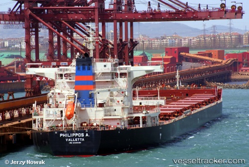
Find the position of the vessel Philippos A. on the map. The latter are known coordinates and path.
marine traffic ship tracker show on live map
The current position of vessel Philippos A. is 5.94456 lat / 94.0238 lng. Updated: 2025-04-18 20:49:10 UTCCurrently sailing under the flag of Malta
Port of registry:
Valletta (capital of Malta)Payload_mass:
175108 tonneGross tonnage:
92183Service entry:
2011-01-01T00:00:00ZDetails:
Last coordinates of the vessel:
UTC, 6.26363, 94.5034, course: 235, speed: 12.1UTC, 6.18134, 94.3872, course: 236, speed: 11.4
UTC, 6.06389, 94.2119, course: 236, speed: 12.3
2025-04-18 20:49:10 UTC, 5.94456, 94.0238, course: 236, speed: 12.3