 vesseltracker.com
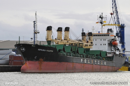
Vessel JUST MY WAY IMO: 8701935, MMSI: 215093000
UTC, 45.55488, 12.44437, course: -1, speed: 0
UTC, 45.55488, 12.44437, course: -1, speed: 0
2026-01-12 11:35:20 UTC, 45.55488, 12.44437, course: -1, speed: 0
Live AIS position:
UTC. Near Quarto d'Altino),
updated 2026-01-12 11:35:20 UTC.
Find the position of the vessel JUST MY WAY on the map. The latter are known coordinates and path.
marine traffic ship tracker show on live map
The current position of vessel JUST MY WAY is 45.55488 lat / 12.44437 lng. Updated: 2026-01-12 11:35:20 UTCCurrently sailing under the flag of Malta
Details:
Last coordinates of the vessel:
UTC, 45.55488, 12.44437, course: -1, speed: 0UTC, 45.55488, 12.44437, course: -1, speed: 0
UTC, 45.55488, 12.44437, course: -1, speed: 0
2026-01-12 11:35:20 UTC, 45.55488, 12.44437, course: -1, speed: 0