 vesseltracker.com
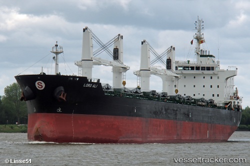
Vessel Elisar IMO: 9595747, MMSI: 215626000 Bulk Carrier
UTC, 29.8499, 32.5346, course: 267, speed: 0
UTC, 29.8497, 32.5345, course: 272, speed: 0.1
2026-02-18 15:31:01 UTC, 29.8491, 32.5345, course: 288, speed: 0
Live AIS position:
UTC. Near AL ADABIYAH),
updated 2026-02-18 15:31:01 UTC.
Find the position of the vessel Elisar on the map. The latter are known coordinates and path.
marine traffic ship tracker show on live map
The current position of vessel Elisar is 29.8491 lat / 32.5345 lng. Updated: 2026-02-18 15:31:01 UTCCurrently sailing under the flag of Malta
Elisar built in 2011 year
Deadweight:
36817 tDetails:
Last coordinates of the vessel:
UTC, 29.8508, 32.5342, course: 231, speed: 0UTC, 29.8499, 32.5346, course: 267, speed: 0
UTC, 29.8497, 32.5345, course: 272, speed: 0.1
2026-02-18 15:31:01 UTC, 29.8491, 32.5345, course: 288, speed: 0