 vesseltracker.com
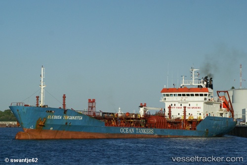
Vessel Elaura IMO: 9176591, MMSI: 215953000 Service Ship
UTC, 35.8701, 14.8062, course: 158, speed: 0.2
UTC, 35.8702, 14.8061, course: 158, speed: 0.2
2026-01-15 17:34:43 UTC, 35.8698, 14.8056, course: 147, speed: 0.3
Live AIS position:
UTC. 12 nm E of Il-Kappara),
updated 2026-01-15 17:34:43 UTC.
Find the position of the vessel Elaura on the map. The latter are known coordinates and path.
marine traffic ship tracker show on live map
The current position of vessel Elaura is 35.8698 lat / 14.8056 lng. Updated: 2026-01-15 17:34:43 UTCCurrently sailing under the flag of Malta
Elaura built in 2000 year
Deadweight:
4509 tDetails:
Last coordinates of the vessel:
UTC, 35.8706, 14.8076, course: 179, speed: 0UTC, 35.8701, 14.8062, course: 158, speed: 0.2
UTC, 35.8702, 14.8061, course: 158, speed: 0.2
2026-01-15 17:34:43 UTC, 35.8698, 14.8056, course: 147, speed: 0.3