 vesseltracker.com
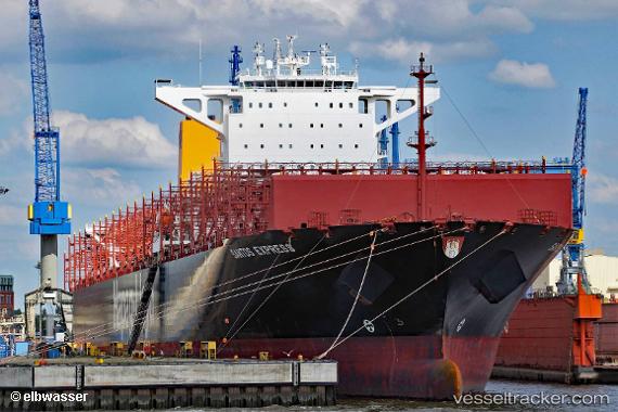
Vessel Santos Express IMO: 9777632, MMSI: 218854000 Container Ship
UTC, 12.0767, -74.5467, course: -1, speed: 18
UTC, 12.4583, -74.2483, course: -1, speed: 18
2026-01-29 08:00:11 UTC, 12.995, -73.8317, course: -1, speed: 18
Live AIS position:
UTC. 105 nm NW of Camarones),
updated 2026-01-29 08:00:11 UTC.
Find the position of the vessel Santos Express on the map. The latter are known coordinates and path.
marine traffic ship tracker show on live map
The current position of vessel Santos Express is 12.995 lat / -73.8317 lng. Updated: 2026-01-29 08:00:11 UTCDetails:
Last coordinates of the vessel:
UTC, 11.405, -75.0883, course: -1, speed: 18UTC, 12.0767, -74.5467, course: -1, speed: 18
UTC, 12.4583, -74.2483, course: -1, speed: 18
2026-01-29 08:00:11 UTC, 12.995, -73.8317, course: -1, speed: 18