 vesseltracker.com
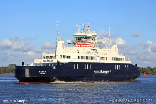
Vessel Lolland IMO: 9594690, MMSI: 219016555 Passenger Ro Ro Cargo Ship
UTC, 54.89867, 10.92351, course: 305, speed: 11.4
UTC, 54.89441, 10.94688, course: 301, speed: 11.2
2026-03-05 19:23:58 UTC, 54.87533, 10.99995, course: 295, speed: 9.5
Live Vessel Lolland Analytics (details, animations, etc.)
Live AIS position: UTC. Near Harpelunde), updated 2026-03-05 19:23:58 UTC.Find the position of the vessel Lolland on the map. The latter are known coordinates and path.
marine traffic ship tracker show on live map
The current position of vessel Lolland is 54.87533 lat / 10.99995 lng. Updated: 2026-03-05 19:23:58 UTCCurrently sailing under the flag of Denmark
Lolland built in 2012 year
Deadweight:
949 tDetails:
Last coordinates of the vessel:
UTC, 54.91051, 10.89044, course: 124, speed: 12.2UTC, 54.89867, 10.92351, course: 305, speed: 11.4
UTC, 54.89441, 10.94688, course: 301, speed: 11.2
2026-03-05 19:23:58 UTC, 54.87533, 10.99995, course: 295, speed: 9.5