 vesseltracker.com
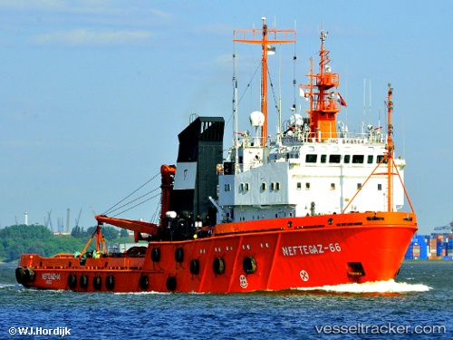
Vessel Sima IMO: 8418564, MMSI: 219017151 Offshore Tug Supply Ship
UTC, 56.69917, 8.21860, course: 336, speed: 0
UTC, 56.69917, 8.21860, course: 335, speed: 0
2026-01-28 11:45:50 UTC, 56.69917, 8.21860, course: 336, speed: 0
Live AIS position:
UTC. Near Thyborøn),
updated 2026-01-28 11:45:50 UTC.
Find the position of the vessel Sima on the map. The latter are known coordinates and path.
marine traffic ship tracker show on live map
The current position of vessel Sima is 56.69917 lat / 8.21860 lng. Updated: 2026-01-28 11:45:50 UTCCurrently sailing under the flag of Denmark
Sima built in 1990 year
Deadweight:
1393 tDetails:
Last coordinates of the vessel:
UTC, 56.69917, 8.21860, course: 335, speed: 0UTC, 56.69917, 8.21860, course: 336, speed: 0
UTC, 56.69917, 8.21860, course: 335, speed: 0
2026-01-28 11:45:50 UTC, 56.69917, 8.21860, course: 336, speed: 0