 vesseltracker.com
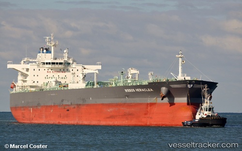
Vessel TORM KIARA IMO: 9701554, MMSI: 219029411 Crude Oil Tanker
UTC, 25.24449, 56.52398, course: 116, speed: 0.1
UTC, 25.24402, 56.52400, course: 105, speed: 0
2026-02-22 13:29:57 UTC, 25.24232, 56.52477, course: 41, speed: 0
Live AIS position:
UTC. Near Fujairah),
updated 2026-02-22 13:29:57 UTC.
Find the position of the vessel TORM KIARA on the map. The latter are known coordinates and path.
marine traffic ship tracker show on live map
The current position of vessel TORM KIARA is 25.24232 lat / 56.52477 lng. Updated: 2026-02-22 13:29:57 UTCCurrently sailing under the flag of Denmark (DIS)
TORM KIARA built in 2015 year
Deadweight:
114270 tDetails:
Last coordinates of the vessel:
UTC, 25.24366, 56.52379, course: 94, speed: 0UTC, 25.24449, 56.52398, course: 116, speed: 0.1
UTC, 25.24402, 56.52400, course: 105, speed: 0
2026-02-22 13:29:57 UTC, 25.24232, 56.52477, course: 41, speed: 0