 vesseltracker.com
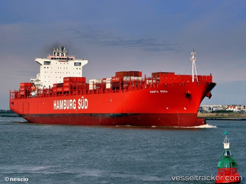
Find the position of the vessel Santa Rosa on the map. The latter are known coordinates and path.
marine traffic ship tracker show on live map
The current position of vessel Santa Rosa is 54.18214 lat / 6.33258 lng. Updated: 2025-10-16 06:04:13 UTCCurrently sailing under the flag of Denmark
Santa Rosa built in 2011 year
Deadweight:
93398 tDetails:
Last coordinates of the vessel:
UTC, 54.19495, 6.94445, course: 276, speed: 7.8UTC, 54.19471, 6.93059, course: 277, speed: 7.6
UTC, 54.18944, 6.59722, course: 277, speed: 7.8
2025-10-16 06:04:13 UTC, 54.18214, 6.33258, course: 277, speed: 8.4