 vesseltracker.com
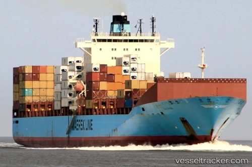
Vessel Seago Felixstowe IMO: 9313917, MMSI: 219196000 Container Ship
UTC, 25.28080, 56.68771, course: 55, speed: 15.8
UTC, 26.01011, 56.81195, course: 354, speed: 16.3
2026-02-17 20:22:27 UTC, 26.47841, 56.67086, course: 338, speed: 16.4
Live AIS position:
UTC. 10 nm SE of Quoin Island),
updated 2026-02-17 20:22:27 UTC.
Find the position of the vessel Seago Felixstowe on the map. The latter are known coordinates and path.
marine traffic ship tracker show on live map
The current position of vessel Seago Felixstowe is 26.47841 lat / 56.67086 lng. Updated: 2026-02-17 20:22:27 UTCCurrently sailing under the flag of Denmark
Seago Felixstowe built in 2006 year
Deadweight:
53700 tDetails:
Last coordinates of the vessel:
UTC, 25.24780, 56.50133, course: 165, speed: 0.2UTC, 25.28080, 56.68771, course: 55, speed: 15.8
UTC, 26.01011, 56.81195, course: 354, speed: 16.3
2026-02-17 20:22:27 UTC, 26.47841, 56.67086, course: 338, speed: 16.4