 vesseltracker.com
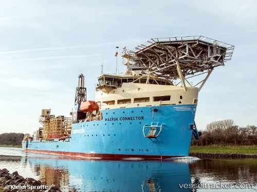
Vessel Maersk Connector IMO: 9743813, MMSI: 219275000 Cable Layer
UTC, 24.23918, 120.50097, course: -1, speed: 0
UTC, 24.24000, 120.50167, course: -1, speed: 0
2026-03-05 05:19:37 UTC, 24.24000, 120.50167, course: -1, speed: 0
Live Vessel Maersk Connector Analytics (details, animations, etc.)
Live AIS position: UTC. Near TAICHUNG), updated 2026-03-05 05:19:37 UTC.Find the position of the vessel Maersk Connector on the map. The latter are known coordinates and path.
marine traffic ship tracker show on live map
The current position of vessel Maersk Connector is 24.24000 lat / 120.50167 lng. Updated: 2026-03-05 05:19:37 UTCCurrently sailing under the flag of Denmark
Details:
Last coordinates of the vessel:
UTC, 24.23833, 120.50167, course: -1, speed: 0UTC, 24.23918, 120.50097, course: -1, speed: 0
UTC, 24.24000, 120.50167, course: -1, speed: 0
2026-03-05 05:19:37 UTC, 24.24000, 120.50167, course: -1, speed: 0