 vesseltracker.com
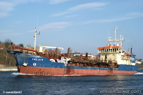
Find the position of the vessel Freja R on the map. The latter are known coordinates and path.
marine traffic ship tracker show on live map
The current position of vessel Freja R is 57.5394 lat / 9.471 lng. Updated: 2024-04-29 10:40:47 UTCCurrently sailing under the flag of Denmark
Freja R built in 1982 year
Port of registry:
Grenå (town in central Denmark)Deadweight:
2784 tGross tonnage:
1875Service entry:
1982-01-01T00:00:00ZDetails:
Last coordinates of the vessel:
UTC, 57.5144, 9.64696, course: 112, speed: 8.5UTC, 57.4894, 9.79395, course: 225, speed: 0
UTC, 57.5426, 9.4789, course: 233, speed: 0.7
2024-04-29 10:40:47 UTC, 57.5394, 9.471, course: 233, speed: 0.9