 vesseltracker.com
Live AIS position:
35.43568° N, 139.74152° E UTC. Near Kawasaki),
updated 2025-11-21 15:59:13 UTC.
Find the position of the vessel Hafnia Libra on the map. The latter are known coordinates and path.
marine traffic ship tracker show on live map
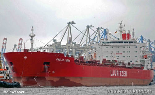
The current position of vessel Hafnia Libra is 35.43568 lat / 139.74152 lng. Updated: 2025-11-21 15:59:13 UTCCurrently sailing under the flag of Denmark
Hafnia Libra built in 2013 year
Deadweight:
52385 tDetails:
Last coordinates of the vessel:
UTC, 35.43495, 139.73969, course: 8, speed: 0UTC, 35.43493, 139.73991, course: 358, speed: 0
UTC, 35.43554, 139.74141, course: 309, speed: 0.2
2025-11-21 15:59:13 UTC, 35.43568, 139.74152, course: 305, speed: 0.1