 vesseltracker.com
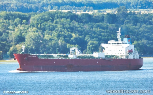
Vessel TORM DIWATA IMO: 9683350, MMSI: 219638000 Tanker
UTC, 33.72998, -118.20268, course: 235, speed: 0.1
UTC, 33.72947, -118.20232, course: 259, speed: 0.1
2026-03-17 04:12:39 UTC, 33.72895, -118.20234, course: 276, speed: 0
Live Vessel TORM DIWATA Analytics (details, animations, etc.)
Live AIS position: UTC. Near Long Beach), updated 2026-03-17 04:12:39 UTC.Find the position of the vessel TORM DIWATA on the map. The latter are known coordinates and path.
marine traffic ship tracker show on live map
The current position of vessel TORM DIWATA is 33.72895 lat / -118.20234 lng. Updated: 2026-03-17 04:12:39 UTCCurrently sailing under the flag of Denmark
Details:
Last coordinates of the vessel:
UTC, 33.72952, -118.20238, course: 248, speed: 0UTC, 33.72998, -118.20268, course: 235, speed: 0.1
UTC, 33.72947, -118.20232, course: 259, speed: 0.1
2026-03-17 04:12:39 UTC, 33.72895, -118.20234, course: 276, speed: 0