 vesseltracker.com
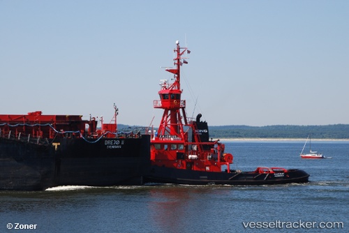
Vessel Calorius IMO: 8802052, MMSI: 219849000 Pusher Tug
UTC, 55.55750, 9.74117, course: 82, speed: 0
UTC, 55.55750, 9.74117, course: 82, speed: 0.1
2026-01-18 13:07:44 UTC, 55.55750, 9.74117, course: 82, speed: 0
Live AIS position:
UTC. Near Fredericia),
updated 2026-01-18 13:07:44 UTC.
Find the position of the vessel Calorius on the map. The latter are known coordinates and path.
marine traffic ship tracker show on live map
The current position of vessel Calorius is 55.55750 lat / 9.74117 lng. Updated: 2026-01-18 13:07:44 UTCCurrently sailing under the flag of Denmark
Calorius built in 1988 year
Deadweight:
200 tDetails:
Last coordinates of the vessel:
UTC, 55.55750, 9.74117, course: 82, speed: 0.1UTC, 55.55750, 9.74117, course: 82, speed: 0
UTC, 55.55750, 9.74117, course: 82, speed: 0.1
2026-01-18 13:07:44 UTC, 55.55750, 9.74117, course: 82, speed: 0