 vesseltracker.com
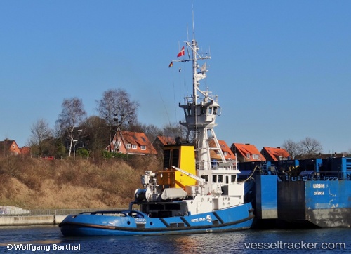
Find the position of the vessel Joulius on the map. The latter are known coordinates and path.
marine traffic ship tracker show on live map
The current position of vessel Joulius is 56.2513 lat / 10.3481 lng. Updated: 2024-05-03 18:00:41 UTCCurrently sailing under the flag of Denmark
Joulius built in 1989 year
Deadweight:
147 tGross tonnage:
244Service entry:
1989-01-01T00:00:00ZDetails:
Last coordinates of the vessel:
UTC, 56.2513, 10.3481, course: 320, speed: 0UTC, 56.2513, 10.3481, course: 320, speed: 0
UTC, 56.2513, 10.3481, course: 320, speed: 0
2024-05-03 18:00:41 UTC, 56.2513, 10.3481, course: 320, speed: 0