 vesseltracker.com
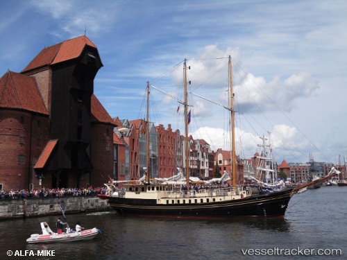
Vessel Skonnerten Jylland IMO: 5115111, MMSI: 220276000 Cruise Ship
UTC, 58.24648, 8.37968, course: 130, speed: 0.1
UTC, 58.24650, 8.37967, course: 129, speed: 0
2026-02-03 05:41:45 UTC, 58.24648, 8.37966, course: 129, speed: 0.1
Live AIS position:
UTC. Near Lillesand),
updated 2026-02-03 05:41:45 UTC.
Find the position of the vessel Skonnerten Jylland on the map. The latter are known coordinates and path.
marine traffic ship tracker show on live map
The current position of vessel Skonnerten Jylland is 58.24648 lat / 8.37966 lng. Updated: 2026-02-03 05:41:45 UTCCurrently sailing under the flag of Denmark
Skonnerten Jylland built in 1951 year
Deadweight:
218 tDetails:
Last coordinates of the vessel:
UTC, 58.24650, 8.37966, course: 129, speed: 0UTC, 58.24648, 8.37968, course: 130, speed: 0.1
UTC, 58.24650, 8.37967, course: 129, speed: 0
2026-02-03 05:41:45 UTC, 58.24648, 8.37966, course: 129, speed: 0.1