 vesseltracker.com
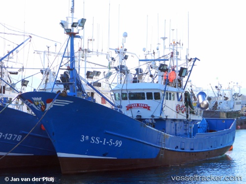
Vessel Itsas Eder IMO: 9208904, MMSI: 224004720 Fishing Vessel
UTC, 43.34490, -1.98269, course: -1, speed: 0.2
UTC, 43.40445, -1.78364, course: -1, speed: 10.2
2026-03-02 23:22:16 UTC, 43.38990, -2.01063, course: -1, speed: 10.2
Live AIS position:
UTC. Near San Sebastian),
updated 2026-03-02 23:22:16 UTC.
Find the position of the vessel Itsas Eder on the map. The latter are known coordinates and path.
marine traffic ship tracker show on live map
The current position of vessel Itsas Eder is 43.38990 lat / -2.01063 lng. Updated: 2026-03-02 23:22:16 UTCCurrently sailing under the flag of Spain
Details:
Last coordinates of the vessel:
UTC, 43.40378, -1.90560, course: -1, speed: 0.4UTC, 43.34490, -1.98269, course: -1, speed: 0.2
UTC, 43.40445, -1.78364, course: -1, speed: 10.2
2026-03-02 23:22:16 UTC, 43.38990, -2.01063, course: -1, speed: 10.2