 vesseltracker.com
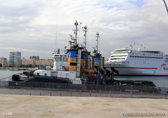
Vessel Trheintayuno IMO: 9800609, MMSI: 224190000 Tug
UTC, 34.97002, -7.04896, course: 223, speed: 8.2
UTC, 34.91000, -7.12333, course: -1, speed: 8
2026-01-14 05:29:55 UTC, 34.83683, -7.21715, course: 224, speed: 8.1
Live AIS position:
UTC. 46 nm W of Moulay Bou Selham),
updated 2026-01-14 05:29:55 UTC.
Find the position of the vessel Trheintayuno on the map. The latter are known coordinates and path.
marine traffic ship tracker show on live map
The current position of vessel Trheintayuno is 34.83683 lat / -7.21715 lng. Updated: 2026-01-14 05:29:55 UTCCurrently sailing under the flag of Spain
Details:
Last coordinates of the vessel:
UTC, 35.01333, -6.99167, course: -1, speed: 8UTC, 34.97002, -7.04896, course: 223, speed: 8.2
UTC, 34.91000, -7.12333, course: -1, speed: 8
2026-01-14 05:29:55 UTC, 34.83683, -7.21715, course: 224, speed: 8.1