 vesseltracker.com
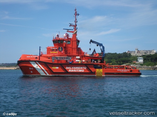
Vessel Maria De Maeztu IMO: 9429091, MMSI: 224631000 Tug
UTC, 42.24165, -8.71739, course: 7, speed: 0.1
UTC, 42.24150, -8.71740, course: 7, speed: 0
2026-03-02 19:57:07 UTC, 42.24171, -8.71732, course: 6, speed: 0.1
Live AIS position:
UTC. Near Vigo),
updated 2026-03-02 19:57:07 UTC.
Find the position of the vessel Maria De Maeztu on the map. The latter are known coordinates and path.
marine traffic ship tracker show on live map
The current position of vessel Maria De Maeztu is 42.24171 lat / -8.71732 lng. Updated: 2026-03-02 19:57:07 UTCDetails:
Last coordinates of the vessel:
UTC, 42.24159, -8.71734, course: 6, speed: 0.1UTC, 42.24165, -8.71739, course: 7, speed: 0.1
UTC, 42.24150, -8.71740, course: 7, speed: 0
2026-03-02 19:57:07 UTC, 42.24171, -8.71732, course: 6, speed: 0.1