 vesseltracker.com
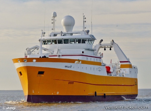
Vessel LODAIRO IMO: 9690676, MMSI: 224717000 Fishing Vessel
UTC, 53.85460, 8.72147, course: 134, speed: 0
UTC, 53.85456, 8.72149, course: 133, speed: 0
2026-01-18 13:07:37 UTC, 53.85463, 8.72152, course: 133, speed: 0
Live AIS position:
UTC. Near Cuxhaven),
updated 2026-01-18 13:07:37 UTC.
Find the position of the vessel LODAIRO on the map. The latter are known coordinates and path.
marine traffic ship tracker show on live map
The current position of vessel LODAIRO is 53.85463 lat / 8.72152 lng. Updated: 2026-01-18 13:07:37 UTCCurrently sailing under the flag of Spain
LODAIRO built in 2015 year
Deadweight:
3160 tDetails:
Last coordinates of the vessel:
UTC, 53.85460, 8.72157, course: 134, speed: 0UTC, 53.85460, 8.72147, course: 134, speed: 0
UTC, 53.85456, 8.72149, course: 133, speed: 0
2026-01-18 13:07:37 UTC, 53.85463, 8.72152, course: 133, speed: 0