 vesseltracker.com
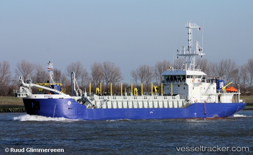
Vessel 'COSTA ATLANTICA' IMO: 9534925, MMSI: 225320000
UTC, 36.49067, -6.17908, course: 19, speed: 0
UTC, 36.49071, -6.17907, course: 19, speed: 0
2026-02-11 03:58:33 UTC, 36.49068, -6.17908, course: 19, speed: 0
Live AIS position:
UTC. Near San Fernando),
updated 2026-02-11 03:58:33 UTC.
Find the position of the vessel 'COSTA ATLANTICA' on the map. The latter are known coordinates and path.
marine traffic ship tracker show on live map
The current position of vessel 'COSTA ATLANTICA' is 36.49068 lat / -6.17908 lng. Updated: 2026-02-11 03:58:33 UTCDetails:
Last coordinates of the vessel:
UTC, 36.49069, -6.17906, course: 19, speed: 0UTC, 36.49067, -6.17908, course: 19, speed: 0
UTC, 36.49071, -6.17907, course: 19, speed: 0
2026-02-11 03:58:33 UTC, 36.49068, -6.17908, course: 19, speed: 0