 vesseltracker.com
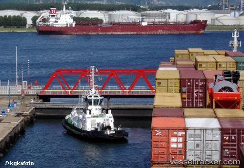
Vessel Farouche IMO: 9192545, MMSI: 227006720 Tug
UTC, 51.05106, 2.31704, course: -1, speed: 0.3
UTC, 51.04038, 2.36245, course: -1, speed: 0
2026-03-24 21:55:35 UTC, 51.04037, 2.36235, course: -1, speed: 0
Live Vessel Farouche Analytics (details, animations, etc.)
Live AIS position: UTC. Near Dunkerque), updated 2026-03-24 21:55:35 UTC.Find the position of the vessel Farouche on the map. The latter are known coordinates and path.
marine traffic ship tracker show on live map
The current position of vessel Farouche is 51.04037 lat / 2.36235 lng. Updated: 2026-03-24 21:55:35 UTCCurrently sailing under the flag of France
Details:
Last coordinates of the vessel:
UTC, 51.04038, 2.36240, course: -1, speed: 0UTC, 51.05106, 2.31704, course: -1, speed: 0.3
UTC, 51.04038, 2.36245, course: -1, speed: 0
2026-03-24 21:55:35 UTC, 51.04037, 2.36235, course: -1, speed: 0