 vesseltracker.com
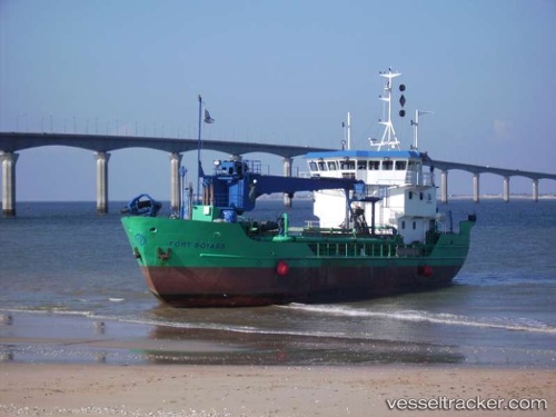
Vessel Fort Boyard IMO: 9098347, MMSI: 227009750 Hopper Dredger
UTC, 46.89366, -2.16838, course: -1, speed: 7
UTC, 46.88066, -2.20501, course: -1, speed: 8.6
2026-03-03 15:33:08 UTC, 46.86526, -2.21838, course: -1, speed: 4.9
Live AIS position:
UTC. Near La Barre-de-Monts),
updated 2026-03-03 15:33:08 UTC.
Find the position of the vessel Fort Boyard on the map. The latter are known coordinates and path.
marine traffic ship tracker show on live map
The current position of vessel Fort Boyard is 46.86526 lat / -2.21838 lng. Updated: 2026-03-03 15:33:08 UTCCurrently sailing under the flag of France
Details:
Last coordinates of the vessel:
UTC, 46.89397, -2.13805, course: -1, speed: 0UTC, 46.89366, -2.16838, course: -1, speed: 7
UTC, 46.88066, -2.20501, course: -1, speed: 8.6
2026-03-03 15:33:08 UTC, 46.86526, -2.21838, course: -1, speed: 4.9