 vesseltracker.com
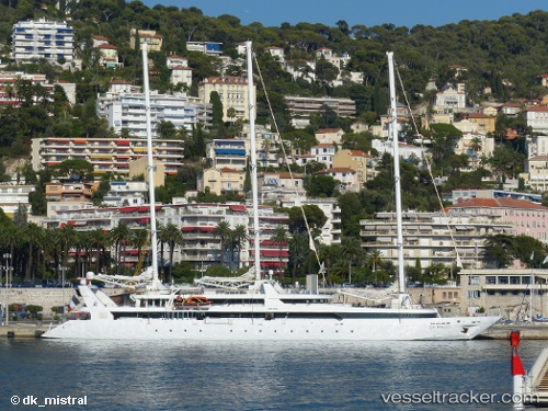
Vessel Ponant IMO: 8914219, MMSI: 227186000 Cruise Ship
UTC, 18.50019, -64.36537, course: 65, speed: 0.1
UTC, 18.50065, -64.36536, course: 73, speed: 0.2
2026-01-19 19:27:18 UTC, 18.50039, -64.36541, course: 91, speed: 0.3
Live AIS position:
UTC. Near Spanish Town),
updated 2026-01-19 19:27:18 UTC.
Find the position of the vessel Ponant on the map. The latter are known coordinates and path.
marine traffic ship tracker show on live map
The current position of vessel Ponant is 18.50039 lat / -64.36541 lng. Updated: 2026-01-19 19:27:18 UTCDetails:
Last coordinates of the vessel:
UTC, 18.50026, -64.36529, course: 111, speed: 0.7UTC, 18.50019, -64.36537, course: 65, speed: 0.1
UTC, 18.50065, -64.36536, course: 73, speed: 0.2
2026-01-19 19:27:18 UTC, 18.50039, -64.36541, course: 91, speed: 0.3