 vesseltracker.com
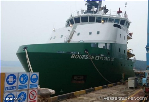
Bourbon Explorer 517
Current StatusLive Vessel Bourbon Explorer 517 Analytics (details, animations, etc.)
Live AIS position: UTC, 18 nm SE of Greater Plutonio, updated 2026-03-25 03:31:30 UTC.Find the vessel Bourbon Explorer 517 on the live map with latest position and historical movement.
Marine traffic ship tracker show on live map
The current position of vessel Bourbon Explorer 517 is -8.09333 lat / 12.26167 lng. Updated: 2026-03-25 03:31:30 UTCNearest reference points:
- Near Greater Plutonio
- Near Luanda
- Near SOYO
Details:
Last coordinates of the vessel:
2026-03-24 21:56:29 UTC, -7.76177, 11.82113, course: 139, speed: 5.52026-03-25 00:08:21 UTC, -7.90110, 11.98003, course: 141, speed: 5.6
2026-03-25 01:28:10 UTC, -7.98136, 12.08893, course: 128, speed: 5.9
2026-03-25 03:31:30 UTC, -8.09333, 12.26167, course: -1, speed: 5