 vesseltracker.com
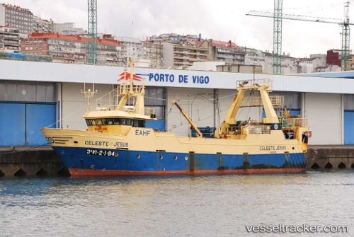
Vessel Fv Playa De Tuya IMO: 9108013, MMSI: 228067700 Fishing Vessel
UTC, 42.39658, -8.69714, course: -1, speed: 0.1
UTC, 42.39658, -8.69714, course: -1, speed: 0.1
2026-02-27 20:35:58 UTC, 42.39658, -8.69714, course: -1, speed: 0.1
Live AIS position:
UTC. Near Marin),
updated 2026-02-27 20:35:58 UTC.
Find the position of the vessel Fv Playa De Tuya on the map. The latter are known coordinates and path.
marine traffic ship tracker show on live map
The current position of vessel Fv Playa De Tuya is 42.39658 lat / -8.69714 lng. Updated: 2026-02-27 20:35:58 UTCCurrently sailing under the flag of France
Details:
Last coordinates of the vessel:
UTC, 42.39500, -8.69667, course: -1, speed: 0UTC, 42.39658, -8.69714, course: -1, speed: 0.1
UTC, 42.39658, -8.69714, course: -1, speed: 0.1
2026-02-27 20:35:58 UTC, 42.39658, -8.69714, course: -1, speed: 0.1