 vesseltracker.com
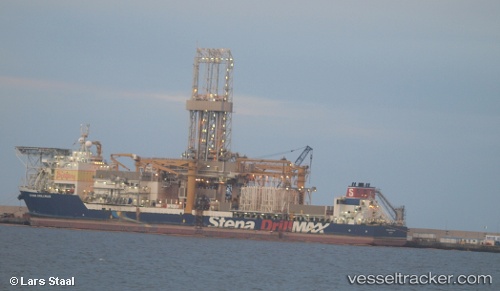
Vessel COTENTIN IMO: 9364978, MMSI: 228263800 Passenger/Ro-Ro Ship (vehicles)
UTC, 49.64878, -1.60966, course: 21, speed: 0
UTC, 50.13312, -1.77486, course: 11, speed: 22
2026-02-22 20:15:53 UTC, 50.70711, -1.99072, course: 103, speed: 0
Live AIS position:
UTC. Near Poole),
updated 2026-02-22 20:15:53 UTC.
Find the position of the vessel COTENTIN on the map. The latter are known coordinates and path.
marine traffic ship tracker show on live map
The current position of vessel COTENTIN is 50.70711 lat / -1.99072 lng. Updated: 2026-02-22 20:15:53 UTCCurrently sailing under the flag of France
COTENTIN built in 2007 year
Deadweight:
6200 tDetails:
Last coordinates of the vessel:
UTC, 49.64877, -1.60968, course: 21, speed: 0UTC, 49.64878, -1.60966, course: 21, speed: 0
UTC, 50.13312, -1.77486, course: 11, speed: 22
2026-02-22 20:15:53 UTC, 50.70711, -1.99072, course: 103, speed: 0