 vesseltracker.com
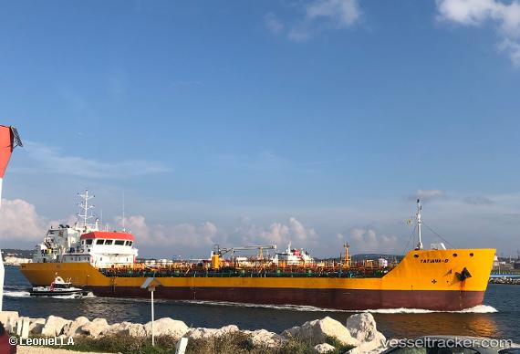
Vessel Tatiana B IMO: 9406972, MMSI: 228287600 Chemical Oil Products Tanker
UTC, 43.32450, 5.35817, course: 329, speed: 0
UTC, 43.32458, 5.35806, course: 329, speed: 0
2026-03-02 10:14:26 UTC, 43.32457, 5.35807, course: 328, speed: 0
Live AIS position:
UTC. Near Marseille),
updated 2026-03-02 10:14:26 UTC.
Find the position of the vessel Tatiana B on the map. The latter are known coordinates and path.
marine traffic ship tracker show on live map
The current position of vessel Tatiana B is 43.32457 lat / 5.35807 lng. Updated: 2026-03-02 10:14:26 UTCCurrently sailing under the flag of France
Tatiana B built in 2008 year
Deadweight:
3536 tDetails:
Last coordinates of the vessel:
UTC, 43.32467, 5.35817, course: 329, speed: 0UTC, 43.32450, 5.35817, course: 329, speed: 0
UTC, 43.32458, 5.35806, course: 329, speed: 0
2026-03-02 10:14:26 UTC, 43.32457, 5.35807, course: 328, speed: 0