 vesseltracker.com
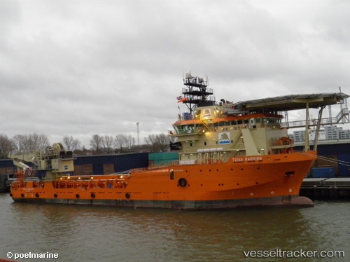
Vessel Ile Douessant IMO: 9427108, MMSI: 228370600 Offshore Tug Supply Ship
UTC, 16.89701, -25.00516, course: 43, speed: 0.2
UTC, 16.89709, -25.00527, course: 49, speed: 0.2
2026-02-02 15:39:21 UTC, 16.89708, -25.00529, course: 53, speed: 0.1
Live AIS position:
UTC. Near Porto Grande),
updated 2026-02-02 15:39:21 UTC.
Find the position of the vessel Ile Douessant on the map. The latter are known coordinates and path.
marine traffic ship tracker show on live map
The current position of vessel Ile Douessant is 16.89708 lat / -25.00529 lng. Updated: 2026-02-02 15:39:21 UTCDetails:
Last coordinates of the vessel:
UTC, 16.89718, -25.00528, course: 44, speed: 0.3UTC, 16.89701, -25.00516, course: 43, speed: 0.2
UTC, 16.89709, -25.00527, course: 49, speed: 0.2
2026-02-02 15:39:21 UTC, 16.89708, -25.00529, course: 53, speed: 0.1