 vesseltracker.com
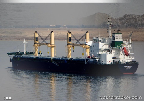
Vessel Ruby IMO: 9626390, MMSI: 229041000 General Cargo Ship
UTC, 22.99851, 70.22426, course: 175, speed: 0
UTC, 22.99850, 70.22427, course: 175, speed: 0
2026-02-03 13:35:18 UTC, 22.99843, 70.22426, course: 175, speed: 0
Live AIS position:
UTC. Near Kandla),
updated 2026-02-03 13:35:18 UTC.
Find the position of the vessel Ruby on the map. The latter are known coordinates and path.
marine traffic ship tracker show on live map
The current position of vessel Ruby is 22.99843 lat / 70.22426 lng. Updated: 2026-02-03 13:35:18 UTCDetails:
Last coordinates of the vessel:
UTC, 22.99833, 70.22333, course: -1, speed: 0UTC, 22.99851, 70.22426, course: 175, speed: 0
UTC, 22.99850, 70.22427, course: 175, speed: 0
2026-02-03 13:35:18 UTC, 22.99843, 70.22426, course: 175, speed: 0