 vesseltracker.com
Find the position of the vessel '229142000' on the map. The latter are known coordinates and path.
marine traffic ship tracker show on live map
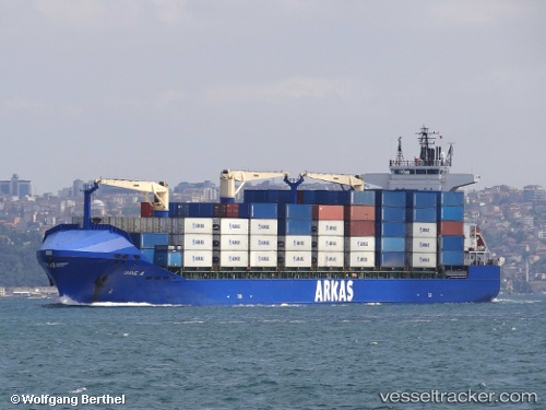
The current position of vessel '229142000' is 35.9459 lat / -5.99557 lng. Updated: 2024-05-06 20:48:46 UTCPort of registry:
İzmir (city in İzmir Province, Turkey)Gross tonnage:
17687Operator:
ARKAS Line (shipping company of Turkey)Service entry:
2008-01-01T00:00:00ZManufacturer:
Peene-Werft (German company)
Details:
Last coordinates of the vessel:
UTC, 36.1021, -5.41911, course: 13, speed: 1UTC, 36.0028, -5.46049, course: 250, speed: 11.4
UTC, 35.9544, -5.70499, course: 262, speed: 13.8
2024-05-06 20:48:46 UTC, 35.9459, -5.99557, course: 270, speed: 13.2