 vesseltracker.com
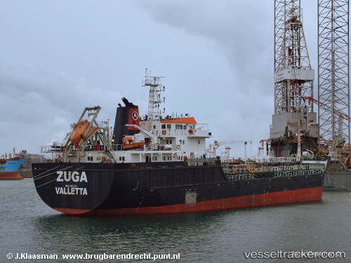
Vessel '229171000' IMO: 9405784, MMSI: 229171000
UTC, 37.15774, -6.89350, course: 308, speed: 0
UTC, 37.15775, -6.89355, course: 308, speed: 0.2
2026-02-04 13:50:05 UTC, 37.15776, -6.89358, course: 308, speed: 0
Live AIS position:
UTC. Near Punta Umbría),
updated 2026-02-04 13:50:05 UTC.
Find the position of the vessel '229171000' on the map. The latter are known coordinates and path.
marine traffic ship tracker show on live map
The current position of vessel '229171000' is 37.15776 lat / -6.89358 lng. Updated: 2026-02-04 13:50:05 UTCDetails:
Last coordinates of the vessel:
UTC, 37.15776, -6.89345, course: 308, speed: 0UTC, 37.15774, -6.89350, course: 308, speed: 0
UTC, 37.15775, -6.89355, course: 308, speed: 0.2
2026-02-04 13:50:05 UTC, 37.15776, -6.89358, course: 308, speed: 0