 vesseltracker.com
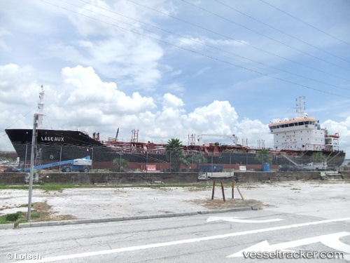
Vessel '229291000' IMO: 9405746, MMSI: 229291000
UTC, 49.46684, -0.08066, course: 40, speed: 0.1
UTC, 49.46839, -0.07716, course: 273, speed: 0.2
2026-01-18 18:20:53 UTC, 49.46884, -0.07718, course: 222, speed: 0.2
Live AIS position:
UTC. Near Le Harve),
updated 2026-01-18 18:20:53 UTC.
Find the position of the vessel '229291000' on the map. The latter are known coordinates and path.
marine traffic ship tracker show on live map
The current position of vessel '229291000' is 49.46884 lat / -0.07718 lng. Updated: 2026-01-18 18:20:53 UTCDetails:
Last coordinates of the vessel:
UTC, 49.46827, -0.07954, course: 69, speed: 0.3UTC, 49.46684, -0.08066, course: 40, speed: 0.1
UTC, 49.46839, -0.07716, course: 273, speed: 0.2
2026-01-18 18:20:53 UTC, 49.46884, -0.07718, course: 222, speed: 0.2