 vesseltracker.com
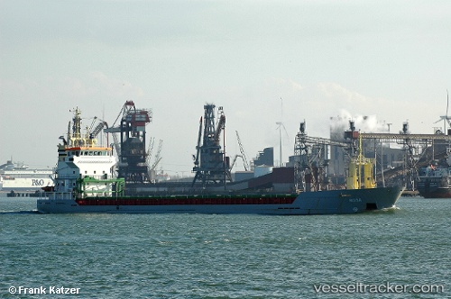
KETTER
Current StatusLive Vessel KETTER Analytics (details, animations, etc.)
Latest AIS update:
Current position: 51.17001° N, 3.79447° E (Near Rieme)
This page shows the vessel’s latest location, recent movement, and operational context from ShipInfo and TOPOS data.
Open the map below to view live position, track history, probable destinations, and nearby traffic.
The current position of vessel KETTER is 51.17001 lat / 3.79447 lng. Updated: 2026-03-25 06:17:53 UTCNearest reference points:
- Near Rieme
- Near Oostakker
- Near SLUISKIL
Currently sailing under the flag of Malta
KETTER built in 2000 year
Deadweight:
5050 tDetails:
Last coordinates of the vessel:
2026-03-23 23:00:17 UTC, 51.17955, 3.80201, course: -1, speed: 02026-03-23 23:00:17 UTC, 51.17955, 3.80201, course: -1, speed: 0
2026-03-23 23:00:17 UTC, 51.17955, 3.80201, course: -1, speed: 0
2026-03-25 06:17:53 UTC, 51.17001, 3.79447, course: 200, speed: 7.7