 vesseltracker.com
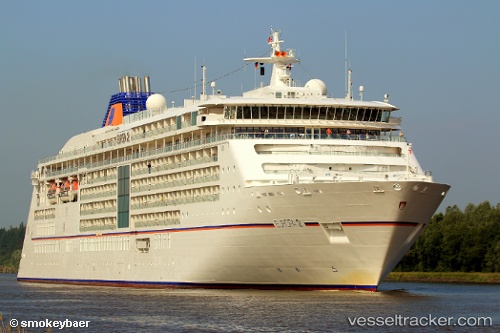
Vessel Europa 2 IMO: 9616230, MMSI: 229378000 Cruise Ship
UTC, 20.93850, -157.92998, course: 177, speed: 16.2
UTC, 20.65390, -157.36162, course: 114, speed: 16.5
2026-02-04 09:59:38 UTC, 20.39485, -156.25822, course: 96, speed: 15.6
Live AIS position:
UTC. 17 nm SE of Ulupalakua),
updated 2026-02-04 09:59:38 UTC.
Find the position of the vessel Europa 2 on the map. The latter are known coordinates and path.
marine traffic ship tracker show on live map
The current position of vessel Europa 2 is 20.39485 lat / -156.25822 lng. Updated: 2026-02-04 09:59:38 UTCCurrently sailing under the flag of Malta
Europa 2 built in 2013 year
Deadweight:
5285 tDetails:
Last coordinates of the vessel:
UTC, 21.30118, -157.86613, course: 219, speed: 0.1UTC, 20.93850, -157.92998, course: 177, speed: 16.2
UTC, 20.65390, -157.36162, course: 114, speed: 16.5
2026-02-04 09:59:38 UTC, 20.39485, -156.25822, course: 96, speed: 15.6