 vesseltracker.com
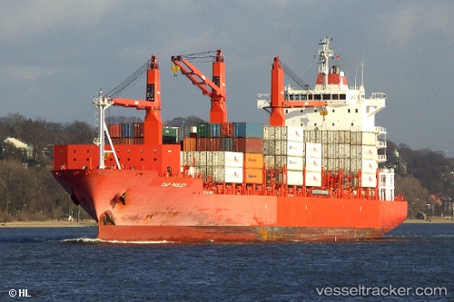
Vessel CMA CGM BALBOA IMO: 9344655, MMSI: 229528000 Container Ship
UTC, 9.81742, -78.82811, course: 87, speed: 18.4
UTC, 9.72833, -78.36500, course: -1, speed: 17
2026-01-29 08:00:56 UTC, 9.48333, -77.76667, course: -1, speed: 17
Live AIS position:
UTC. 30 nm E of Playón Chico),
updated 2026-01-29 08:00:56 UTC.
Find the position of the vessel CMA CGM BALBOA on the map. The latter are known coordinates and path.
marine traffic ship tracker show on live map
The current position of vessel CMA CGM BALBOA is 9.48333 lat / -77.76667 lng. Updated: 2026-01-29 08:00:56 UTCCurrently sailing under the flag of Malta
CMA CGM BALBOA built in 2007 year
Deadweight:
28202 tDetails:
Last coordinates of the vessel:
UTC, 9.74426, -79.65985, course: 39, speed: 18.1UTC, 9.81742, -78.82811, course: 87, speed: 18.4
UTC, 9.72833, -78.36500, course: -1, speed: 17
2026-01-29 08:00:56 UTC, 9.48333, -77.76667, course: -1, speed: 17