 vesseltracker.com
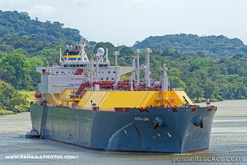
Find the position of the vessel Kita Lng on the map. The latter are known coordinates and path.
marine traffic ship tracker show on live map
The current position of vessel Kita Lng is 12.628401666667 lat / 101.10815166667 lng. Updated: 2025-09-13 17:27:15 UTCCurrently sailing under the flag of Malta
Details:
Last coordinates of the vessel:
UTC, 12.628383333333, 101.10813833333, course: 225, speed: 0UTC, 12.628395, 101.10815833333, course: 225, speed: 0
UTC, 12.628401666667, 101.10814833333, course: 225, speed: 0
2025-09-13 17:27:15 UTC, 12.628401666667, 101.10815166667, course: 225, speed: 0
Track of the vessel in the last 14 days
The ship also appears on the maps: